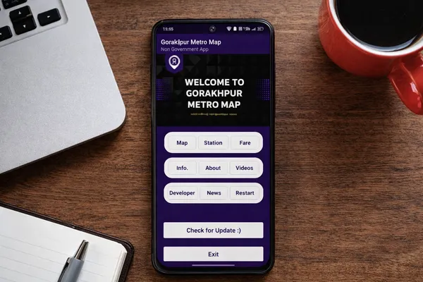
Gorakhpur Metro Map
A clear and reliable guide to the upcoming Gorakhpur Metrolite project, helping residents, students, and travelers understand proposed routes, stations, and public planning information.
App Overview
Gorakhpur Metro Map is an unofficial metro information app built to simplify understanding of the upcoming Gorakhpur Metrolite project. It provides real-time information about proposed routes, future stations, fare estimates, and public project updates.
Interactive Metro Maps
Simplified visual routes and network coverage for easy navigation.
Upcoming Stations
Detailed list of future stations covering key areas of Gorakhpur city.
Project Updates
Stay informed with metro news and construction updates.
Fast & Clean UI
Smooth performance with ad-free, user-friendly navigation.
Key Features of the App
Built to provide transparent, easy-to-understand metro information using official public data and modern visualization.
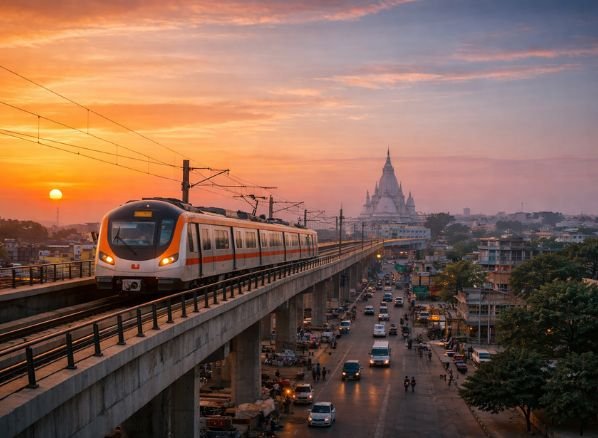
Interactive Metro Map
Explore high-resolution path visualizations of the Shyam Nagar to Sooba Bazar and Gulariha corridors.
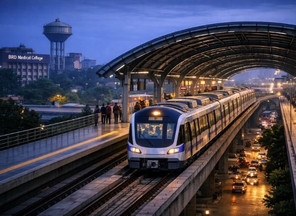
Proposed Stations
A comprehensive directory of all 27 elevated stations, pinpointed for residential and commercial proximity.
Project Updates
Get real-time insights into construction milestones, tender approvals, and official UPMRC press releases.
Fast & Clean UI
Optimized for Android, providing a lightweight experience with lightning-fast route calculation.
Verified References
Cross-referenced with DPR documents and government gazettes for high data integrity.
Detailed Insights
Understand Metrolite technology, train frequency, and future connectivity plans for Gorakhpur.
How Our App Helps
Simplifying your experience with the Gorakhpur Metro Map - plan, explore, and stay informed with professional-grade tools.
Navigate Routes
Visualize geometric paths of Line 1 and Line 2 with high-precision mapping.
Station Finder
Identify precise coordinates for all upcoming elevated stations across the city.
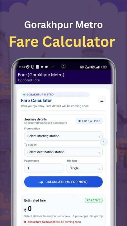
Fare Estimates
Calculate projected travel costs based on Metrolite distance brackets.
Project Status
Track real-time infrastructure progress and official tender updates.
Fast & Smooth
Experience a native Android environment with zero lag and ad-free browsing.
Verified Data
Reliable information sourced directly from official project reports and DPRs.
Trip Planning
Efficiently organize city travel around future metro connectivity hubs.
Project Insights
Statistical breakdowns of route lengths, station counts, and city impact.
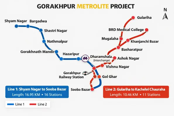
Metro Lines Covered
Gorakhpur Metrolite will consist of two elevated metro lines designed to connect major residential, educational, commercial, and transport hubs across the city.
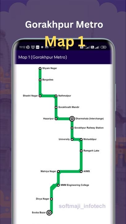
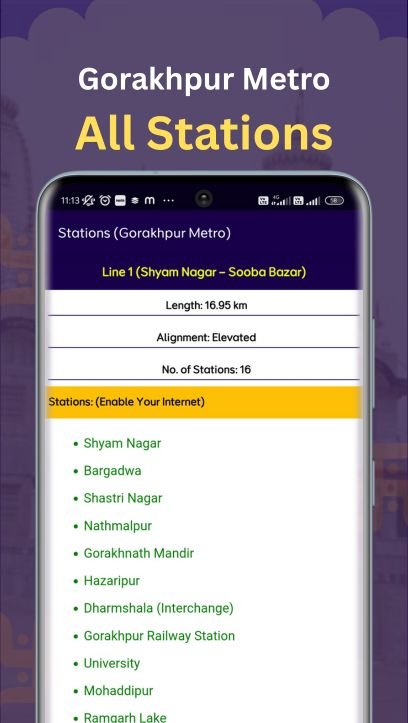
Line 1: Shyam Nagar - Sooba Bazar
This line covers approximately 16.95 km with 16 elevated stations, forming the longest metro corridor in Gorakhpur.
Proposed Stations
- Shyam Nagar
- Bargadwa
- Shastri Nagar
- Nathmalpur
- Gorakhnath Mandir
- Hazaripur
- Dharamshala (Interchange)
- Gorakhpur Railway Station
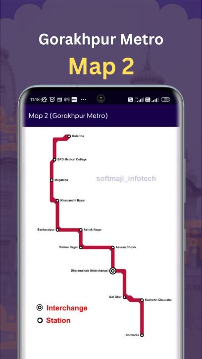
Line 2: Gulariha - Kachehri Chauraha
This corridor spans about 10.46 km with 11 elevated stations, connecting healthcare, residential, and administrative zones.
Proposed Stations
- Gulariha
- BRD Medical College
- Mugalaha
- Khanjanchi Bazar
- Basharatpur
- Ashok Nagar
- Vishnu Nagar
- Dharamshala (Interchange)
- Gol Ghar
- Kachehri Chauraha
Explore Landmarks
Discover Gorakhpur's top destinations via the MetroLite network.
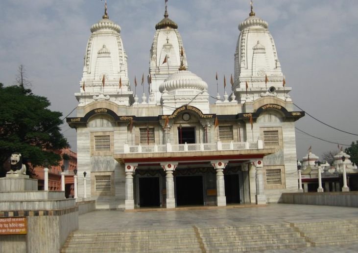
Gorakhnath Temple
Near: Gorakhnath Station
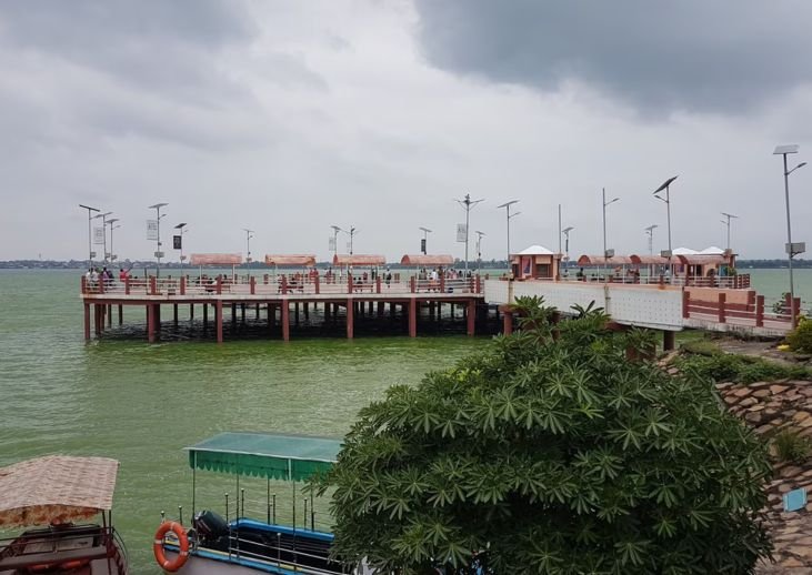
Ramgarh Tal Lake
Near: Sooba Bazar Station
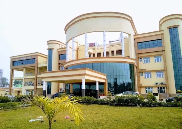
BRD Medical Zone
Near: Medical College Station
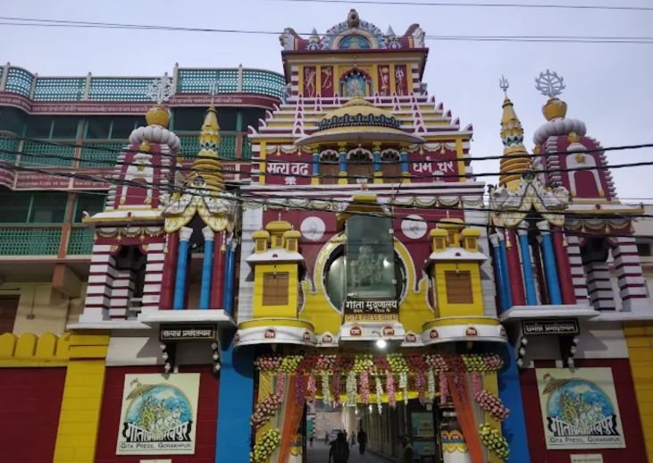
Gita Press
Near: Kachehri Chauraha Station
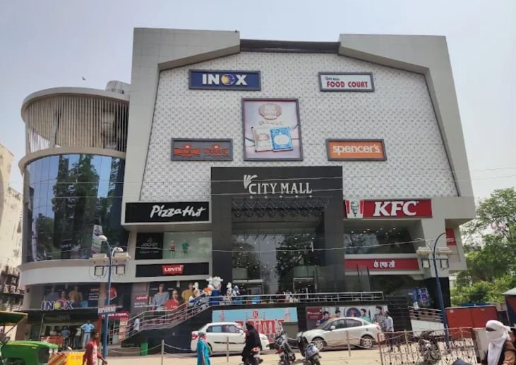
Golghar Shopping Hub
Near: Gol Ghar Station
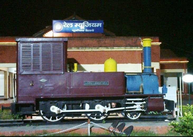
Railway Museum
Near: Railway Station
Clean, Clear, and Easy to Read
A smooth and distraction-free interface designed for effortless understanding of Gorakhpur Metro information.
Get Started with the Gorakhpur Metro Map App
Download the app to explore proposed metro routes, future stations, and publicly available project information in one simple and easy-to-use platform.
Frequently Asked Questions
Answers to common questions about the Gorakhpur Metro Map app.